Live Webcam
-
- Home
- Articles
- Airports and fields
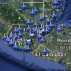
- Airports & Fields Map
- Flight Briefing: International Arrival from Tapachula
- Airport & fields list
- Central America International Flight Cost
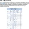
- COM & NAV Frequencies
- Waypoints & Radio Communication Hand-offs
- Get to know Guatemala
- International Flight MGGT-MSSS
- Flight Briefing from Guatemala to Nicaragua
- Downloads
- Flight Preparation
- Learn to Fly
- Gallery
- Links
- About


Pingback: Maps updated | Guatemala Skies