The density altitude pages have been modified and improved.
The MGGT Density Altitude graph looks better and the calculation should be more accurate. Now they also take humidity into account. The graph shows roughly the last 5 days.
You won’t find High Altitude page anymore. All that information and much more can be pulled from the Density Altitude Airport Query Tool. I was able to modify the page in a way that will allow you to generate a density altitude graph for any airport with available METAR information. All Guatemalan airports with METAR information are pre-configured and can be shown with a single click. But this is no limitation; this should work for any airport reporting weather on the US Aviation Weather webpage. I did include the US highest airport in the quick link as an example.
Hopefully you will find this a useful tool!
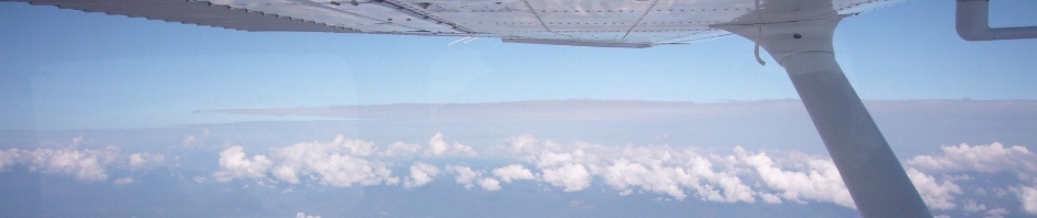
I flew to Xela on August 5, and I shot this video showing a high (density) altitude take off.
http://youtu.be/fL8Iro5x3xA