Several sites can be found on the Internet explaining how to decode a METAR. This page will be specific to METAR codes used in Guatemala and the area. Or how many times have you seen a VA code in Europe or North America?
Based on example METARs for Guatemala weather stations, the table will grow with time as new codes might be mentioned for the first time. If you see a code in Guatemala that is not included below, send me a note and I will include it here.
| METAR code | Explanation | Example |
|---|---|---|
| MGGT | Weather Station Code. MGGT is the code for La Aurora International Airport | MGGT 040940Z 36006KT 9999 SCT015MGCB=Coban, MGES=Esquipulas, MGGT=La Aurora, MGHT=Huehuetenango, MGPB=Puerto Barrios, MGQZ=Quetzaltenango, MGRT=Retalhuleu, MGSJ=San Jose, MGZA=Zacapa |
| 081400Z | Time of report. 8th (08) of current month at 14:00 Zulu time. Zulu and UTC are the same. Add 6 hours to the current Guatemalan time. Check current Zulu (UTC) time | MGGT 081400Z 36018KT 9999 FEW014 17/11 Q1023 A3021 |
| 36012KT | Wind Direction and Speed. Wind blowing from 360 degrees with 12 knots. You might see something like 36010G22KT. The G stands for Gusts. This reads wind blowing from 360 degrees with 10 knots and gusts up to 22 knots. | MGGT 080500Z 36012KT 9999 SCT016 16/13 1024 A3024 |
| VTO TEND S | VTO = viento / windo in spanish. In this case very calm or non-existing winds with south tendency | MGGT 311115Z 00000KT 2000S BR FEW003 VTO TEND S |
| 9999, 0400 | Visibility in meters. 9999 represents greater than 9000 meters or 7 statue miles. The example to the right shows visibility of 400 meters. | MGCB 081400Z 00000KT 0400 FG SKC 14/13 QFE871.8 APCH CLSD |
| FG | Fog. Visibility less than 1000 meters. | MGCB 081400Z 00000KT 0400 FG SKC 14/13 QFE871.8 APCH CLSD |
| VV | Vertical Visibility. Found in combination with FG. | MGGT 301300Z 00000KT 0000 FG VV/// 15/15 Q1025 A3027 APCH CLSD |
| BR | Mist. Visibility equal or more than 1000 meters. | MGGT 161230Z 02010KT 1000N BR SCT002 BEST APCH SFog and note that the best approach is from south. |
| APCH CLSD | Approach Closed. | MGGT 301100Z 00000KT 1000 BR OVC002 15/15 Q1023 A3021 APCH CLSD |
| BEST APCH N | Best Approach North | MGGT 300800Z 00000KT 3000 FEW006 16/15 Q1025 A3027 BEST APCH N |
| -DZ | Dizzle. Light Rain. The negative sign means light. + stands for heavy. | MGGT 151435Z 36016KT 7000 -DZ BR SCT006 BKN014Light Dizzle. Note that can be combined in several ways as here with fog. |
| REDZ | Moderate or heavy drizzle. | MGCB 151900Z 07004KT 9999 BKN016 19/15 QFE872.1 REDZ MTN W CUB/CL |
| RA | Rain. + and – can be used to indicate strong or light rain. | MGPB 151300Z 00000KT 9999 -RA SCT018 21/21 Q1017 A3003Light Rain. |
| CB | Cumulonimbus clouds. Can be over the station or in the perimeter. | MGQZ 152000Z 36012KT 9999 SCT022 21/07 QFE 768/4 CB DIST NW. |
| TCU | Towering cumulus. Can be over the station or in the perimeter. | MGPB 161300Z 00000KT 9999 FEW06 19/19 Q1017 A3004 TCU NTowering cumulus north of station. |
| TS | Thunderstorm. Can be over the station or in the perimeter. | MGRT 152300Z 22010KT 9999 TS SCT020 FEW025CB 31/22 Q1012 A2988 CB/TS/PCPN E/ESE SANTA MARIA EN ACTIVIDADCombination of cumulonimbus clouds, thunderstorm and precipitation. |
| FU | Smoke | MGSJ 162100Z 18018KT 9000 SKC 32/21 Q1010 A29836 FU |
| HZ | Haze | MGSJ 151700Z 18008KT 9000 SKC 34/21 Q1013 A2991 HZ |
| VIS | Visibility Remarks. Might be in the perimeter of the station | MGGT 311100Z 00000KT 9000 SKC 16/15 Q1022 A3018 VIS BR |
| SA | Sand | |
| VA S/SW VOLCAN DE FUEGO | Vulcanic Ash south/southwest of station over the volcano called “Fuego” | MGGT 050200Z 36026KT 9999 SCT017 18/13 Q1023 A3021 VA SBR. VOL. FUEGO |
| 25/07 | Temperatur / Dew Point. Remember that the dewpoint is the temperatur that the air would have to be cooled down to, to reach 100% humidity. When the air reaches 100% humidity, the proability of clouds, fog, etc. is very high. Watch out if the difference (spread) between the two is very small. A slight temperature changed might cause bad visibility. | MGGT 081900Z 36014G24KT 9999 FEW020 25/07 Q1023 A3021= |
| SKC | Clear Skies. | MGSJ 161700Z 00000KT 9000 SKC 35/16 Q1014 A2994 FU |
| FEW | 0 – 2/8 cloud cover. In hundreds (100) of feet above ground level (AGL). | MGGT 161900Z 36018KT CAVOK 25/10 Q1025 A3027 FEW200Few cloud cover at 20,000 ft AGL. |
| SCT | Scattered 3/8 – 4/8 cloud cover. In hundreds (100) of feet above ground level (AGL). | MGQZ 151900Z 05012 9999 SCT014 21/08 QFE769.0Scattered cloud cover at 1,400 AGL. |
| BKN | Broken 5/8 – 7/8 cloud cover. In hundreds (100) of feet above ground level (AGL). | MGGT 161600Z 36018KT CAVOK 21/08 Q1027 A3003 BKN200Broken cloud cover at 20,000 AGL. |
| OVC | Overcast 8/8. Fully covered. In hundreds (100) of feet above ground level (AGL). | MGGT 161400Z 36014KT CAVOK 16/11 Q1026 A3030 OVC200Overcast (closed cloud cover) at 20,000 AGL. |
| CAVOK | Ceiling and visibility OK. No significant weather, visibility than 10 km or greater and ceilings are greater than 5,000 ft. | MGGT 162100Z 36014KT CAVOK 26/08 Q1024 A3024 |
| Q1024 A3024 | Altimeter Setting. Q1024 represents 1024 hectopascalas hPa or millibars mb. A3024 translates into 30.24 inches Hg. Important to calculate Pressure Altitude. If above 29.92 the Pressure Altitude is reduced. In this example the the difference would be -348 ft. In the cockpit, you usually change your altimeter setting to match the A code, 30.24 for example. | MGGT 161100Z 02010KT CAVOK 12/11 Q1024 A3024 |
| QFE | Altimeter Setting. If you set your altimeter to the QFE setting the altimeter will show the elevation about the station. At the airport the elevation will show 0. | MGCB 312100Z 05006KT 9999 SCT020 28/19 QFE 865.7 |
| PCPN NNW | Precipitation near the station in direction NNW. | MGQZ 151500Z 05008KT 9999 BKN012 15/10 QFE 769/6 PCPN NNW |
| MNTN | Mountains | MGCB 152300Z 25004KT 9999 OVC016 18/16 QFE871.1 MNTN NE/W CUB/CL |
See compass references below
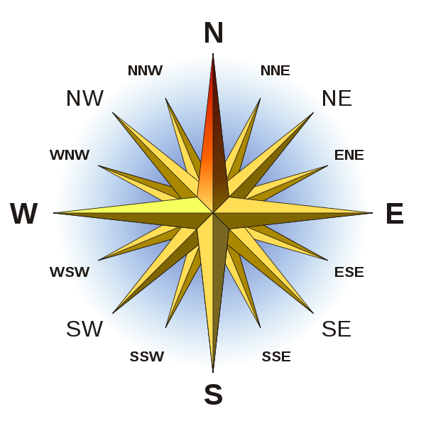
Source Wikipedia
Pingback: Added minor information to weather pages | Guatemala Skies
Pingback: Check for bullet impact – New Checklist Item | Guatemala Skies