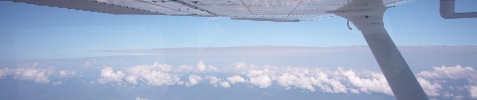
Guatemala is one of the most beautiful countries to fly in. The scenery is fabulous, where in the world can you fly watching two active volcanos at the same time, only in Guatemala… The flying community in Guatemala is extremely welcoming and nice, and you will be invited to join fly inns, 100 US$ breakfast as soon as you arrive.
However, there are some issues that you have to keep in mind:
a. Geography: Guatemala is a very mountainous country and there is no VFR chart of the area. So before you venture yourself out there, be aware that there are many granite walls that you should avoid. Also density altitude and turbulence can be challenging. Check runway lengths and the capacity of your bird to tackle the altitude. So first recommendation, before you fly solo VFR, fly with somebody who knows the area. Also a GPS with terrain features is always a plus.
b. Weather: As in any mountainous area, weather and winds are always an issue. Winds are gusty and strong and the weather can change from one moment to the other. During certain times of the year visibility can be very low…
c. Avgas availability: Avgas is ONLY available in Guatemala City. So plan accordingly.
d. You always have to file a flight plan. Regardless if you fly VFR or IFR.
These are some issues that come to my mind. But I am sure that there are many more that may be useful. So let’s start a discussion about this.
-
Archives
- January 2023
- November 2022
- September 2019
- March 2019
- August 2018
- May 2018
- January 2018
- August 2017
- July 2017
- January 2017
- October 2016
- April 2016
- July 2015
- June 2015
- April 2015
- March 2015
- February 2015
- September 2014
- June 2014
- May 2014
- April 2014
- March 2014
- January 2014
- December 2013
- November 2013
- October 2013
- September 2013
- August 2013
- June 2013
- May 2013
- April 2013
- March 2013
- February 2013
- January 2013
- December 2012
- November 2012
- September 2012
- August 2012
- July 2012
- June 2012
- May 2012
- April 2012
- March 2012
-
Meta
Thank Oscar for this contribution!
What do you think about these additional/expanded points?
– At night you can only fly under IFR in Guatemala
– There are common VFR routes that you should be familiar with. This could be an idea for a future article or post. For example: Between the Agua and the Fuego/Acatenango volcanos I have seen very strong winds in the morning at low altitudes. I would avoid that area and take the “Palin route” when flying from the highlands to the southern coast on a windy morning.
– Most of the radio communications are in Spanish. Air Traffic Controllers will respond to your calls in English, but most everyone around you will be talking in Spanish.
– You will be asked to report at places with local waypoint names. In case you don’t know these places, ask the controller and they will provide you with location in relation to a VOR/DME.
– It’s hard to find a grass strip in North America. There are plenty of great grass strips in Guatemala.
– There are many high density altitudes in Guatemala. High mountains and high temperatures. Over 10,000 ft density altitudes are not common. Check some Guatemala Density Altitude Example
Alex, well that makes a nice list of subjects that we should write about. Weather would be another one that I would add to the list. Lets discuss a timeline…